File:Blankmap-ao-090W-americas.xcf
Jump to navigation
Jump to search
Size of this PNG preview of this XCF file: 600 × 600 pixels. Other resolutions: 240 × 240 pixels | 480 × 480 pixels | 726 × 726 pixels.
Original file (726 × 726 pixels, file size: 511 KB, MIME type: image/x-xcf)
Captions
Captions
Add a one-line explanation of what this file represents
| Description |
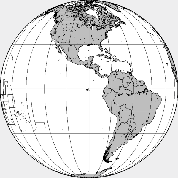
English: XCF file for Image:Blankmap-ao-090W-americas.png with separate layers for water, land, coastlines, political borders, political borders over water (not shown), and latitude & longitude gridlines (not shown). |
||
| Source | Own work | ||
| Author | Created by User:Reisio with GMT & GIMP. | ||
| Permission (Reusing this file) |
|
|
|
File history
Click on a date/time to view the file as it appeared at that time.
| Date/Time | Thumbnail | Dimensions | User | Comment | |
|---|---|---|---|---|---|
| current | 11:44, 13 October 2005 |  | 726 × 726 (511 KB) | Reisio (talk | contribs) | Created by User:Reisio with GMT & GIMP.{{pd}} |
You cannot overwrite this file.
File usage on Commons
The following page uses this file: